⚔️ TrueSize Challenge Game
Put your geography knowledge to the test! The TrueSize Challenge is a fast-paced quiz game where you compare the true size of territories from around the world. Can you identify which region is larger?
How to Play
Starting the Game
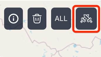
- Click the Game button in the main toolbar
- Wait for the game data to load (this happens only once)
- The game begins automatically once ready
Direct Link: You can also share or bookmark the game directly using: https://truesize.net/#game
Gameplay
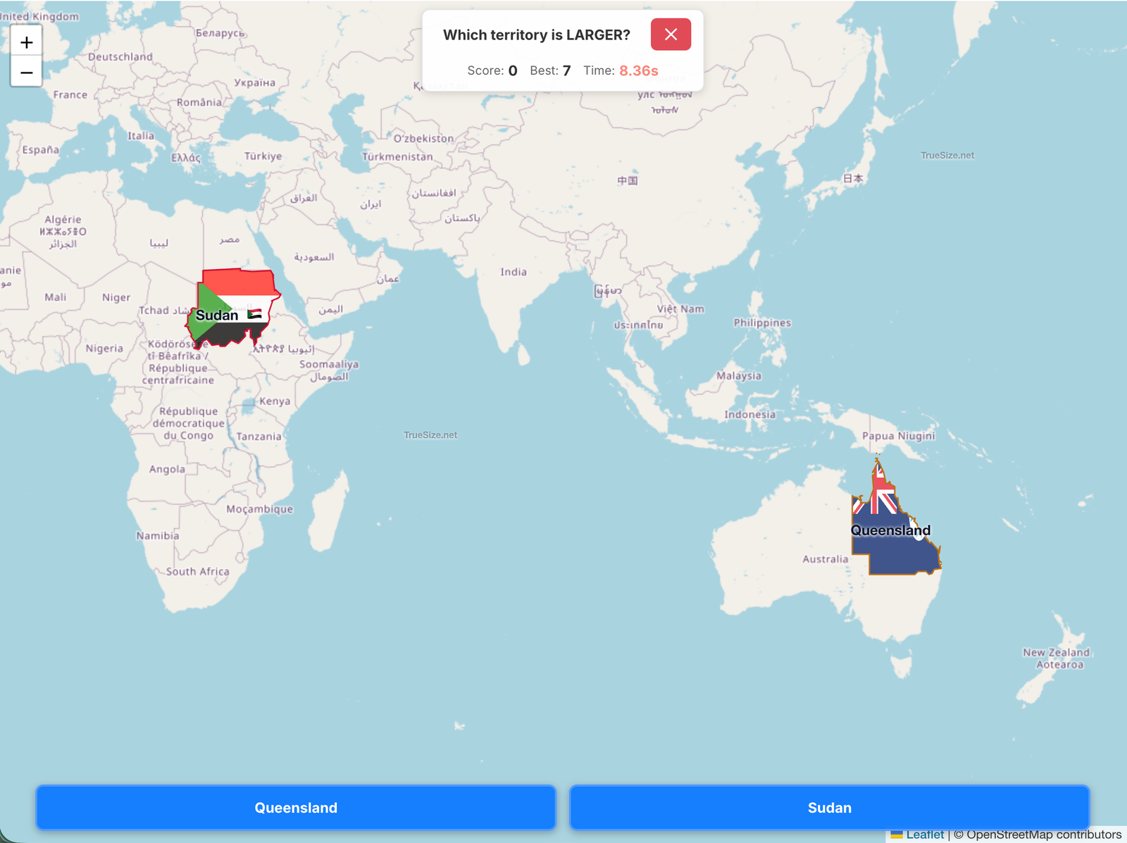
- Two territories appear on the map, positioned at their original locations
- You have 15 seconds to decide which territory is larger
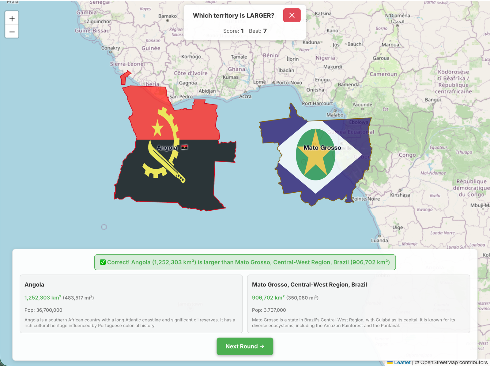
- The territories automatically move to the equator for easy comparison
- Click LEFT or RIGHT to make your guess
- Earn points for correct answers and track your best score
Scoring & Difficulty
- Each correct answer increases your score by 1 point
- The game progressively introduces territories of different sizes:
- Early rounds (0-2 points): Large countries and regions
- Mid game (3-9 points): Mix of medium and large territories
- Advanced (10-14 points): Wider variety including smaller regions
- Expert (15+ points): All territory sizes including challenging micro-regions
- Your best score is automatically saved in your browser
- Challenge yourself to beat your personal record!
Game Features
- Smart territory selection: Territories are grouped into 8 size buckets to ensure fair and interesting comparisons
- Automatic positioning: Territories move to the equator after you guess, making size comparison clearer
- Animated transitions: Smooth camera movements and territory animations enhance the experience
- Memory optimized: The search worker is terminated during gameplay to ensure smooth performance
Tips for Success
- Pay attention to the shape and proportions of territories
- Remember that territories near the poles appear larger on most maps due to Mercator distortion
- Countries with similar areas can be tricky - look carefully at their boundaries
- As you progress, expect more challenging comparisons between lesser-known regions
Exiting the Game
- Click the ✕ button in the game header at any time
- Confirm you want to exit in the dialog
- Your best score is saved automatically
Geography Learning
The TrueSize Challenge is more than just a game - it's an educational tool that helps you:
- Understand map distortion: See how territories at different latitudes compare when moved to the equator
- Learn about subdivisions: Discover provinces, states, and regions you may not have known existed
- Build spatial awareness: Develop intuition for relative territory sizes across the globe
- Challenge misconceptions: Many territories are larger or smaller than commonly perceived
Performance Notes
The game is optimized for smooth performance:
- Territory data is pre-loaded into memory in size-based buckets
- A dedicated web worker handles territory selection
- The search feature is temporarily disabled during gameplay to free memory
- All animations use hardware-accelerated rendering
Ready to test your geography skills? Launch the map and click the Game button to start the TrueSize Challenge!
Previous: Sharing & Exporting | Next: Flag Quiz Game | Up: Tutorial Home