Customizing Appearance
Adjust how countries and regions are displayed to suit education, presentation, or analysis workflows.
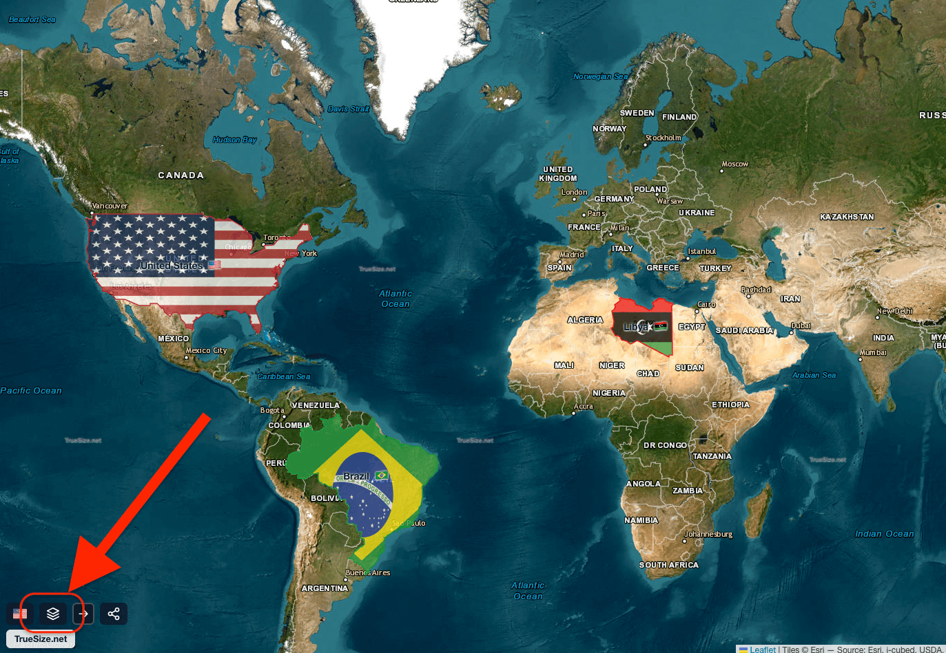
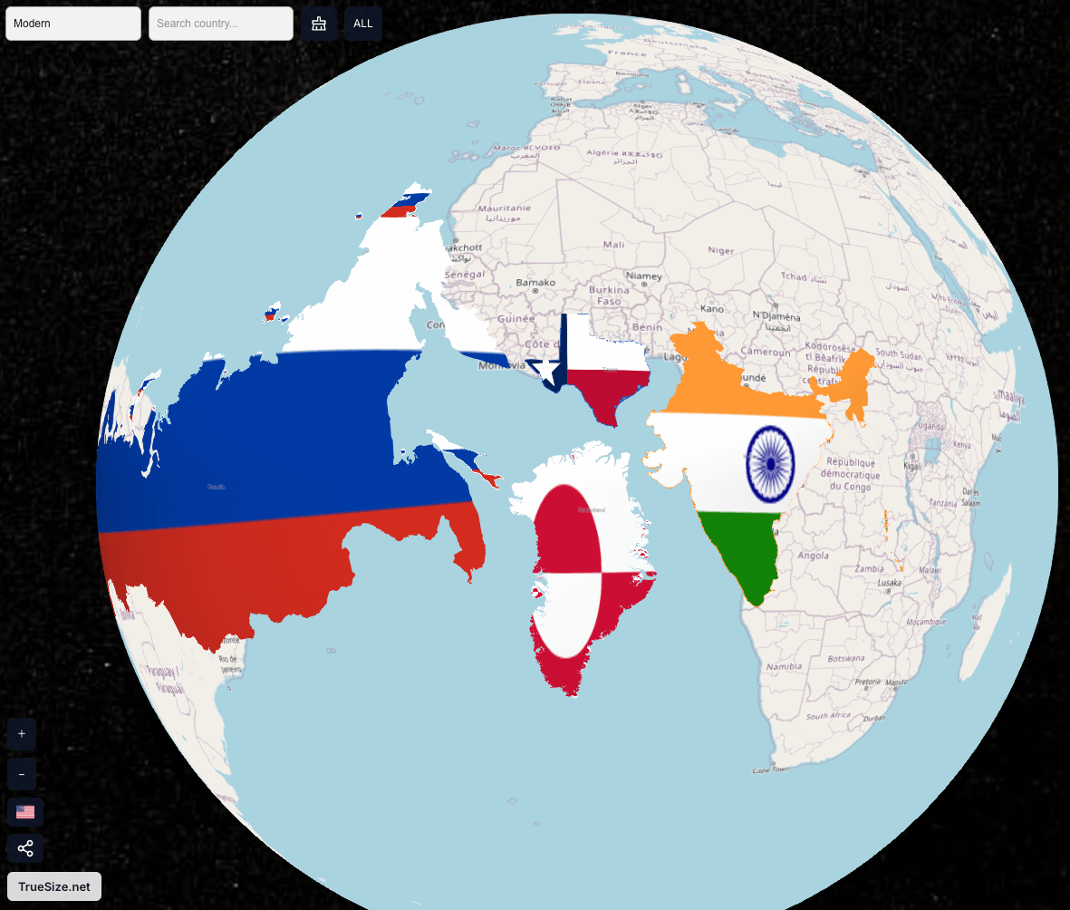
Flag Rendering vs Random Color Palette
If a flag texture is available, the country is filled with its flag. Otherwise, a distinct random color is assigned. You can toggle flag rendering off for a cleaner thematic look.
Toggling flag rendering on and off
Country and Region Information in Tooltip
Hover to view:
- Official name
- Current / historical population (era-dependent)
- Land area (km² & mi²)
- Selected historical & geographic context
Tooltip information is available for almost all countries, regions, and historical land areas.
Basemap Options
Switch between background layers to match your use case:
- OpenStreetMap (Default): General purpose with roads & labels
- Satellite: Esri World Imagery for terrain context
- Hybrid: Satellite plus labels overlay
Map vs Globe
- 2D Map: Fast interaction, familiar layout
- 3D Globe: True spherical perspective and intuitive polar comparison
- Use the globe/map toggle button to switch views instantly
Next: Learn how to share & export your setup.