
English
English
Appearance
The Soviet Union covered about 22 million km² from 1960 to 1990. That is roughly 2.7 times the 48 contiguous US states (about 8.1 million km²) and 2.2 times the whole United States with Alaska and Hawaii (about 9.83 million km²). TrueSize measures the Soviet Union from its historical outline and lets you set it beside today's USA.
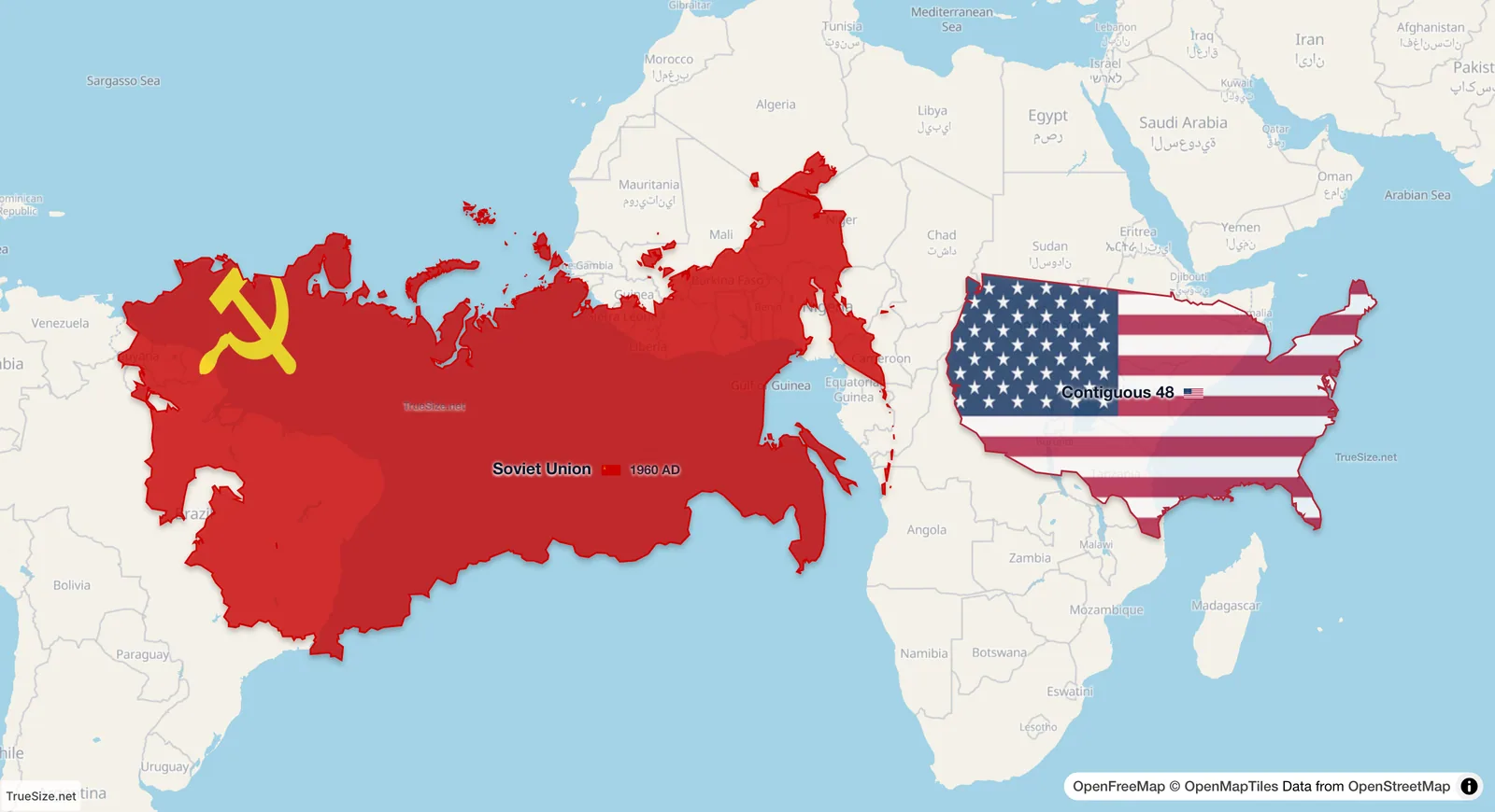
The Soviet Union (1960 to 1990 snapshot) and the 48 contiguous US states side by side on the equator, each at its true size.
| Region | Area | Ratio to the 48 contiguous states |
|---|---|---|
| Soviet Union, 1960 to 1990 | 22.02 million km² (measured in TrueSize) | about 2.7 times |
| Russian Empire, 1914 | 21.83 million km² (measured in TrueSize) | about 2.7 times |
| Modern Russia | about 17.1 million km² | about 2.1 times |
| United States, with Alaska and Hawaii | about 9.83 million km² | about 1.2 times |
| 48 contiguous US states | about 8.1 million km² | 1 |
The Soviet Union covered about 15% of all land on Earth. Its area shrank by more than a fifth when it dissolved in 1991 and Russia became an independent country.
On a Mercator map, the distance between latitude lines grows toward the poles, so everything that lies far north is stretched. Most of the Soviet Union lay between 45 and 75 degrees north, so on a classroom map it looks even bigger than it was. The 48 contiguous states, at 25 to 49 degrees north, are stretched less.
TrueSize does the opposite. It keeps the true area as you drag a region, so when you pull the Soviet Union south and set it beside the USA, you see the real difference. Side by side on the equator, the Soviet Union is about 2.7 times as large as the 48 contiguous states.
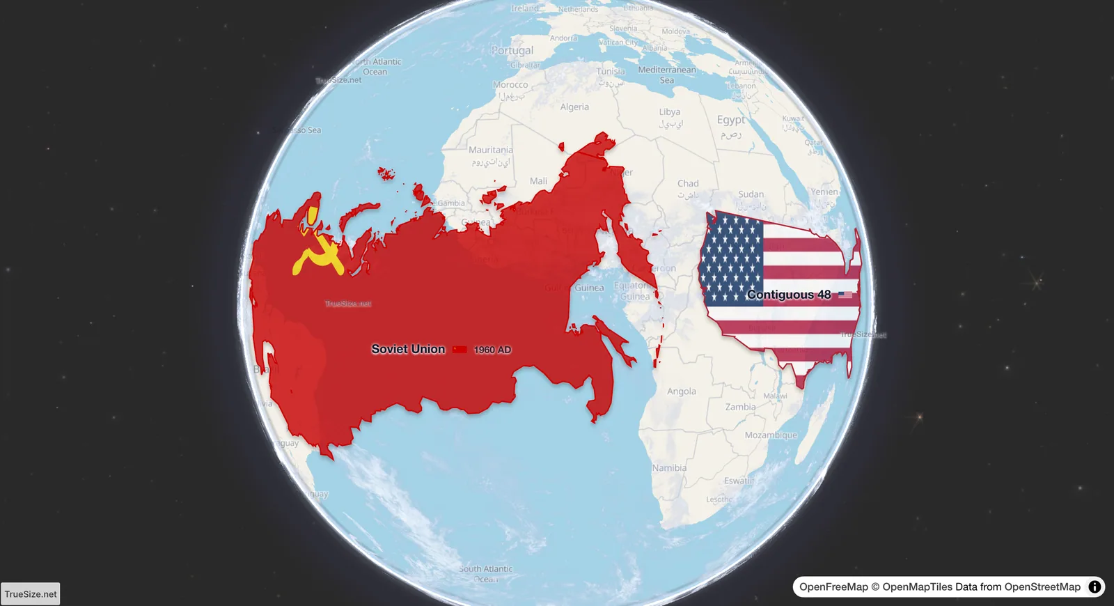
The same row on the globe.
Open the globe map in TrueSize
The timeline and globe work on the web version, and the timeline is also in the mobile app.
Please rotate your device
The map needs portrait orientation on small screens — landscape leaves too little height to work with.