
English
English
Appearance
At its peak in 116 AD, the Roman Empire covered about 4.83 million km², measured from the map outline in TrueSize. That is about half the area of the United States (9.8 million km²), or about 60% of the 48 contiguous states shown in the picture, and a little over the size of the European Union today. Rome ruled many millions of people, but its land area was smaller than most people expect.
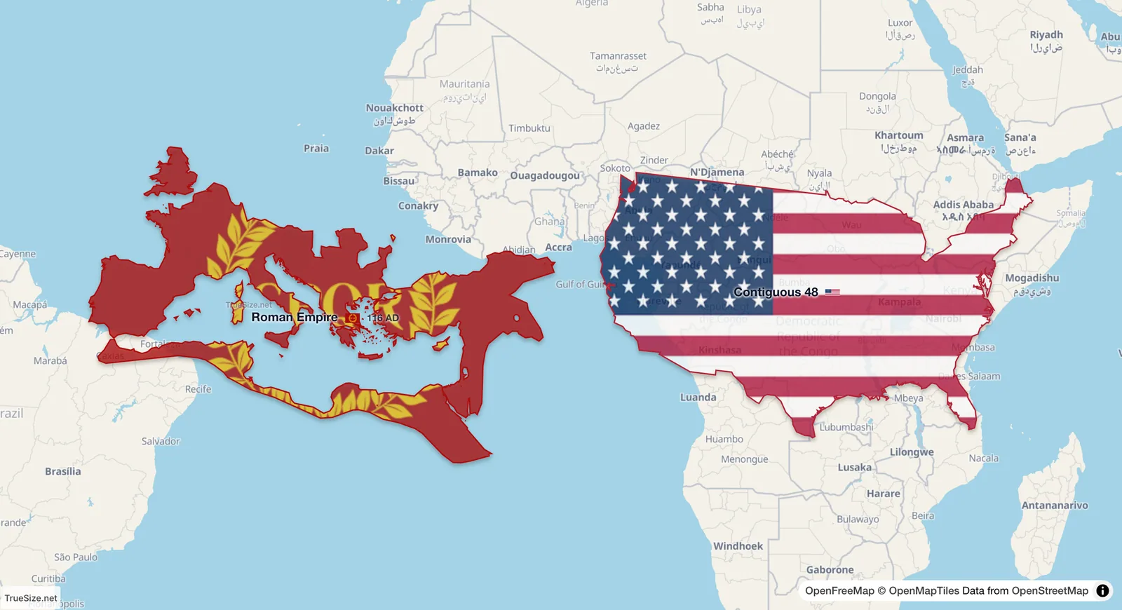
The Roman Empire in 116 AD and the 48 contiguous US states side by side on the equator, each at its true size.
| Region | Area | Source |
|---|---|---|
| Roman Empire, peak, 116 AD | 4.83 million km² | measured in TrueSize |
| Roman Empire, 117 to 269 AD | 4.37 million km² | measured in TrueSize |
| Modern USA | about 9.83 million km² | official total |
| Contiguous 48 US states | about 8.1 million km² | official total |
| Modern China | about 9.6 million km² | official total |
| Modern India | about 3.3 million km² | official total |
The USA is about twice the area of the Roman Empire at its peak, and the 48 contiguous states are about 1.7 times its area. India alone is about two thirds of it. Published estimates of Roman territory vary with how historians treat client states and frontier zones, so treat these figures as approximate.
The Roman Empire surrounded the Mediterranean, so most of it lay in a band between about 30 and 55 degrees north. Mercator maps stretch those latitudes more than the equatorial zone, and they make Europe look larger against Africa and India.
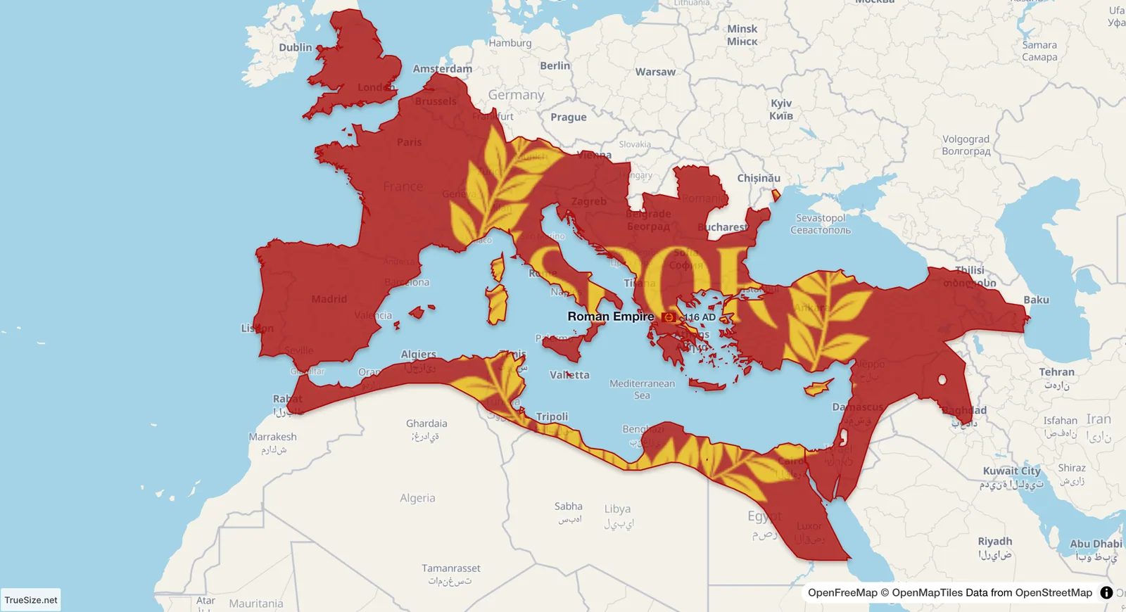
The empire at its peak, over today's map.
Open the Roman Empire map in TrueSize
The timeline works on the web version and in the mobile app.
Please rotate your device
The map needs portrait orientation on small screens — landscape leaves too little height to work with.