
English
English
Appearance
Earthquakes are not spread evenly over the world. Put the last month of earthquakes on the map and draw the edges of the tectonic plates over them, and the pattern is obvious: almost every quake sits on or near a plate edge.
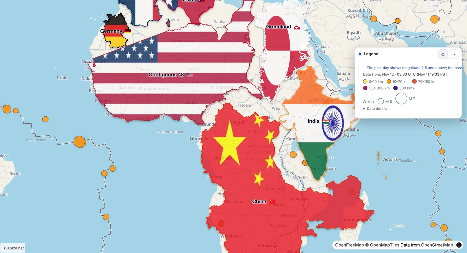
A month of earthquakes of magnitude 4.5 and above, over the plate edges. The dots follow the edges almost everywhere.
Open the earthquake map in TrueSize
The Pacific Ring of Fire. A loop of earthquakes runs around the Pacific: Chile, Central America, Alaska, Japan, the Philippines, Indonesia and New Zealand. Here ocean plates slide under other plates.
Deep quakes far from the edge. Under Japan, Tonga and South America the dots get darker inland: the sinking plate keeps breaking as it goes deeper, sometimes more than 600 km down.
The Himalayas and the Middle East. Where India and Arabia push into Eurasia, earthquakes spread over a wide band instead of one line.
Mid-ocean ridges. Thin lines of small quakes run down the middle of the Atlantic and around Antarctica, where plates move apart.
Quiet places. The middle of a plate, such as most of Australia, Brazil or Russia, has very few earthquakes.
The past day and week show earthquakes of magnitude 2.5 and above; the past month, 4.5 and above. The data comes from the US Geological Survey and is refreshed every few minutes while the layer is on. More about the other layers: Live wind, ocean currents and aurora.
The plates are regions you can move too. Load all tectonic plates and drag the Pacific Plate next to a continent to see how large it really is.
Please rotate your device
The map needs portrait orientation on small screens — landscape leaves too little height to work with.