
English
English
Appearance
During the last ice age so much water was locked in ice sheets that the sea stood about 120 to 130 m lower than today. Wide plains that are now sea floor were dry land: Doggerland joined Great Britain to continental Europe, the Bering Land Bridge joined Siberia to Alaska, and Sundaland joined Borneo, Sumatra and Java to Asia. Zealandia is older and larger still: a continent of about 4.9 million km² that is about 94% under water today.
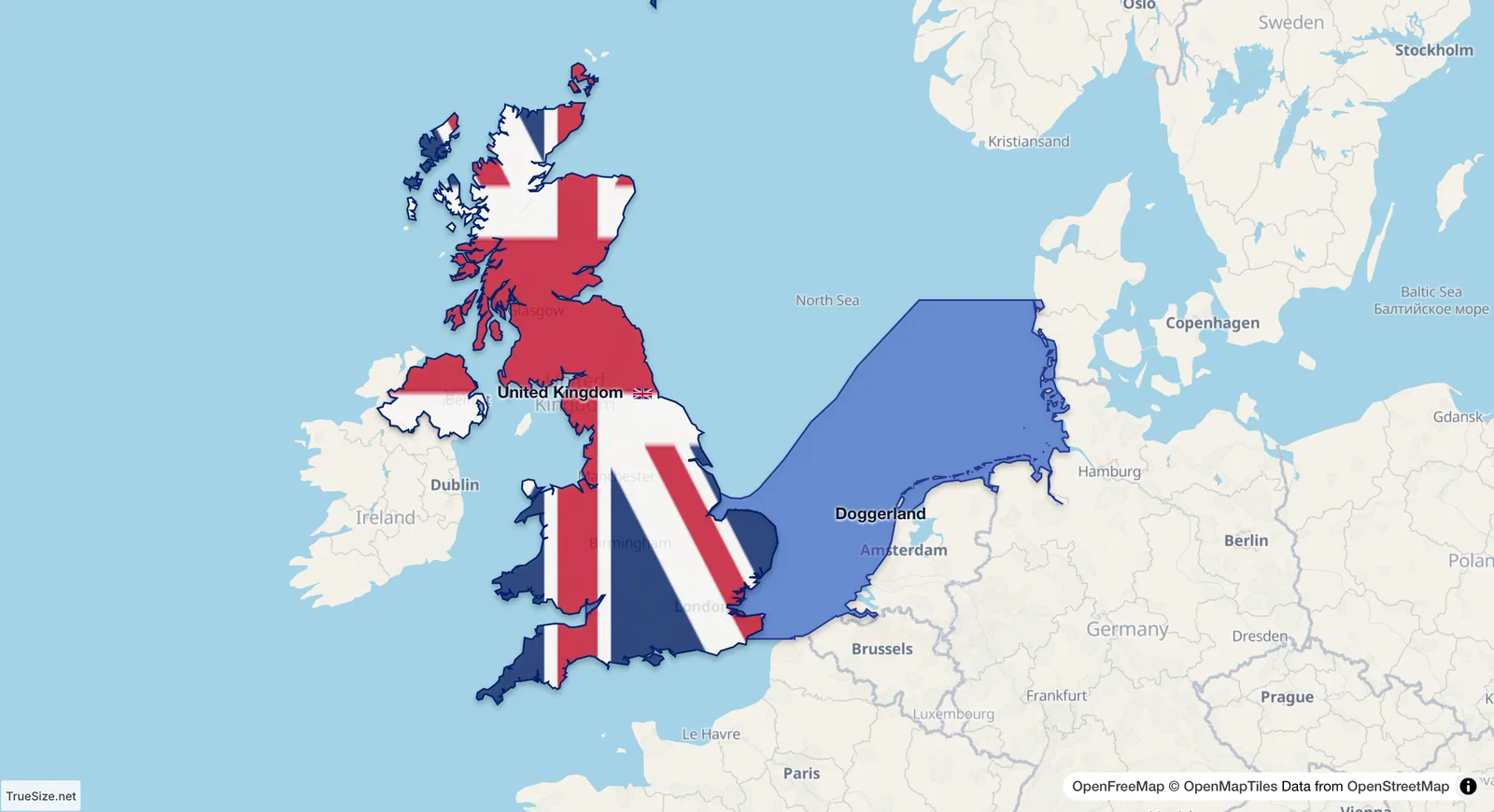
Doggerland, the land now under the North Sea, beside the United Kingdom.
| Land | Where | Size (about) | Under the sea since |
|---|---|---|---|
| Zealandia | South-west Pacific | 4.9 million km² | tens of millions of years |
| Sundaland (now-sunken part) | Southeast Asia | 2.3 million km² | 8,000 to 10,000 years ago |
| Bering Land Bridge | Between Siberia and Alaska | 1.6 million km² | about 10,000 to 11,000 years ago |
| Doggerland | Southern North Sea | 150,000 km² | about 8,000 years ago |
The sizes of the ice-age lands depend on how low the sea is taken to be and on where the outline stops, so published figures differ. TrueSize draws them from today's sea floor (NOAA ETOPO 2022) down to the sea level of about 20,000 years ago, leaving out the parts that lay under ice sheets. The coasts are approximate: the sea floor has changed since then through sediment and land movement.
Doggerland shrank in steps as the ice melted. The timeline shows its coast at several dates: wide lowlands around 10,000 BC, the Dogger Bank cut off as an island by 8,000 BC, and the last low islands around 6,200 BC, when a tsunami from the Storegga slide off Norway struck the area. The Bering Land Bridge and Sundaland have their own timeline entries from the last ice age onward.
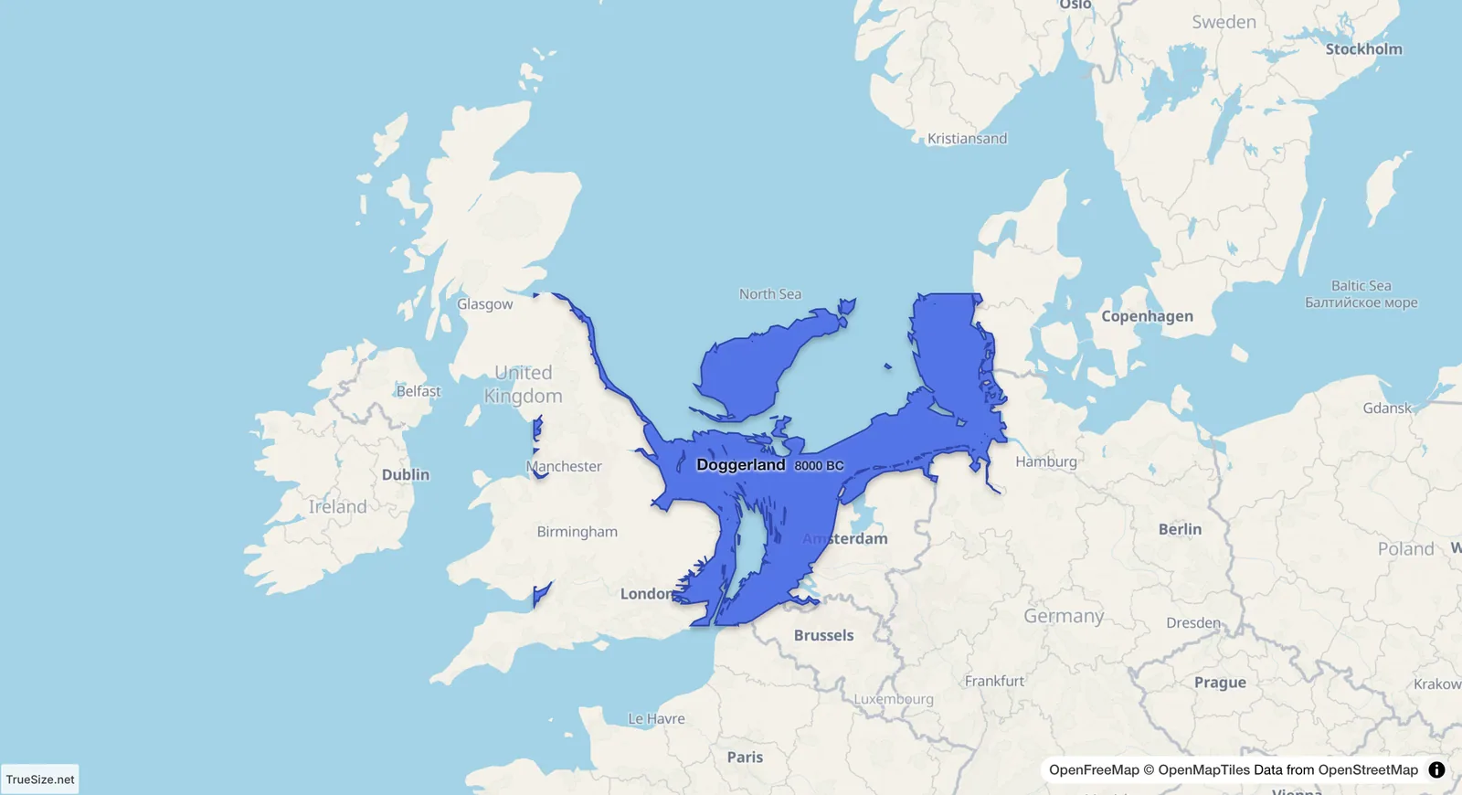
Doggerland on the timeline in 8000 BC.
Zealandia broke away from the ancient supercontinent Gondwana about 80 million years ago and sank. New Zealand and New Caledonia are its largest parts above water. Geologists described it as a continent in 2017. At about 4.9 million km² it is larger than India and about two thirds of the size of Australia.
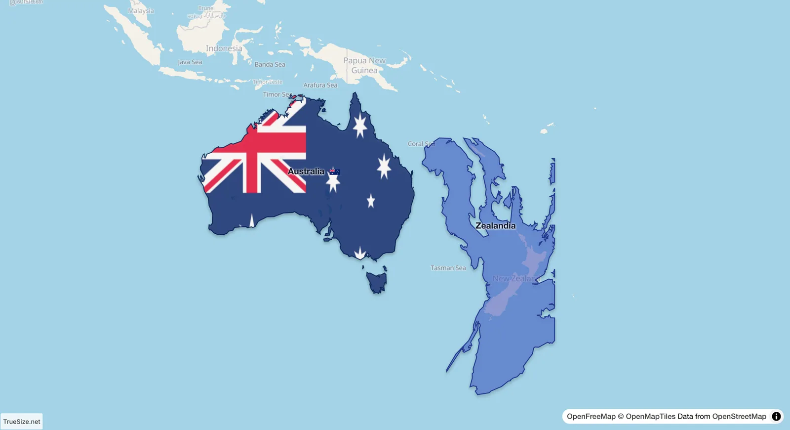
Zealandia beside Australia.
Please rotate your device
The map needs portrait orientation on small screens — landscape leaves too little height to work with.