
English
English
Appearance
In 1943 the Empire of Japan, counting every territory it occupied, covered about 8.9 million km², measured from its outline in TrueSize. That is 10% more than the 48 contiguous US states and about 24 times modern Japan (about 378,000 km²). The figure usually quoted for 1942 is 7.4 million km²; the TrueSize outline is larger because it draws each occupied country in full. In 1938, before the Pacific War, Japan with Korea, Taiwan and its dependent state Manchukuo covered about 1.8 million km².
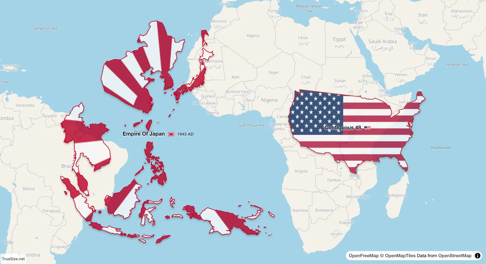
The Empire of Japan in 1943 and the 48 contiguous US states (about 8.1 million km²) side by side on the equator, each at its true size.
| Region | Area | Source |
|---|---|---|
| Empire of Japan, 1943 (largest extent) | 8.90 million km² | measured in TrueSize |
| Empire of Japan, 1942 | about 7.4 million km² | published estimate |
| Empire of Japan and Manchukuo, 1938 to 1944 | 1.79 million km² | measured in TrueSize |
| Empire of Japan, 1938 | about 1.98 million km² | published estimate |
| Empire of Japan, 1930 to 1937 | 0.70 million km² | measured in TrueSize |
| Japan today | about 0.38 million km² | official total |
| Contiguous 48 US states | about 8.1 million km² | official total |
The 1943 outline shows how far Japanese forces reached, not a territory Japan administered in full. The 1938 to 1944 outline is the better figure for the lands Japan and its dependent state Manchukuo actually ruled. After 1941 the conquests extended Japanese control from Korea, Taiwan and Manchukuo across occupied eastern China and Southeast Asia to New Guinea. In 1943 Japan declared Burma and the Philippines nominally independent.
The Empire of Japan is covered by several entries in the TrueSize timeline, starting with the Meiji restoration in 1868.
| Year | Area in TrueSize | What changed on the map |
|---|---|---|
| 1868 | 0.27 million km² | the Meiji restoration |
| 1875 | 0.38 million km² | the Kuril Islands come to Japan under the Treaty of Saint Petersburg |
| 1895 | 0.40 million km² | Taiwan is ceded after the First Sino-Japanese War |
| 1905 | 0.46 million km² | southern Sakhalin is added after the Russo-Japanese War |
| 1910 | 0.68 million km² | Korea is annexed |
| 1938 | 1.79 million km² | Manchukuo, a dependent state in Manchuria, is drawn with Japan |
| 1943 | 8.90 million km² | the largest extent, after the conquests of 1941 and 1942 |
Japan surrendered on 2 September 1945, and its territory shrank to the home islands.
The occupied lands reached from Manchuria and the Kuril Islands at about 50°N to New Guinea south of the equator. A Mercator map stretches the northern parts by two times or more and the southern parts hardly at all, so the empire's northern half looks larger than it was. Beside the 48 contiguous states on the equator, as above, the 1943 empire is only 10% bigger.
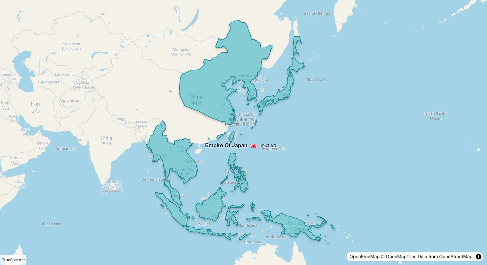
The Empire of Japan in 1943 at its home position, with a plain fill instead of the flag.
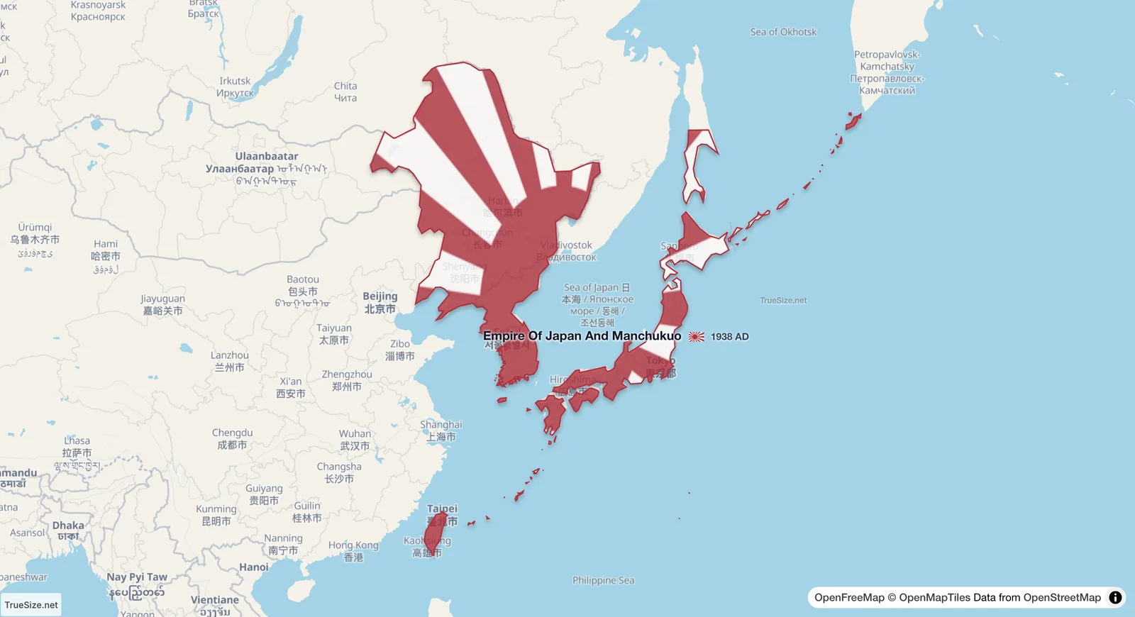
The Empire of Japan and Manchukuo in 1938, before the conquests of the Pacific War.
The timeline works on the web version and in the mobile app. The Stats button on the Tools tab shows the total area of what you have loaded.
Please rotate your device
The map needs portrait orientation on small screens — landscape leaves too little height to work with.