
English
English
Appearance
Two neighbouring countries are shown as one grey shape, with no border between them and no labels on the map. Draw the border where you think it runs. Then the real border appears over your line. It is a borderlines game: you draw borderlines from memory, one border at a time, and see how close you came and how the crowd drew the same border.
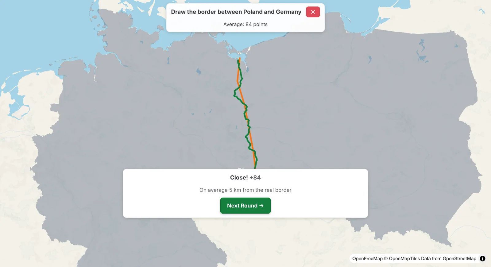
Your line in orange, the real border in green.
The Poland–Germany border drawn in two pieces, with Move map in between
Your score goes from 0 to 100, shown as, for example, 14 / 100. It depends on the average distance between your line and the real border, compared with the length of the border. The result card tells you what that means for the border you drew: for example, staying within 3 km of it on average would have scored 90 or more, and within 15 km 60 or more. Following the general direction gets you some points; following the bends of rivers and mountains gets you the rest.
Draw the Border is one of the daily games: three borders a day, the same for everyone. The first is a border between two countries; the other two are borders between well-known regions of one country, such as two US states, two Canadian provinces or two states of India, each named with its country. After each Check, everyone else's lines for that border show on the map with the real border; click Next for the next border. Your points for the day are the average of the three, shown with your place among today's players after the third. Free play in the Fun tab gives you a new pair of neighbouring countries every round.
Please rotate your device
The map needs portrait orientation on small screens — landscape leaves too little height to work with.